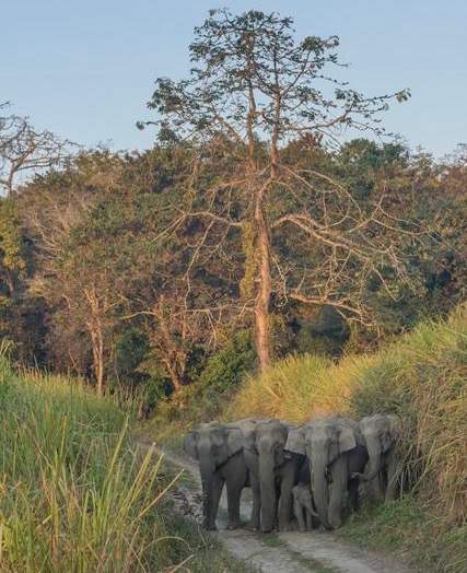
Roads, rail, and other infrastructure are fundamental for India’s economic development. However, these linear features sever connectivity between protected areas. Protected areas in India are often too small to support viable populations of wide-ranging species, such as elephants and tigers. Connectivity is crucial for genetic viability of these species.
OUR APPROACH: The group has helped decision-makers plan for infrastructure development while maintaining connectivity of the landscape. They created an open access, web-based tool for planners by using scientific evidence like spatial data layers and data analysis to identify major challenges for wildlife connectivity across India.

Open Data Portal
The team created a data portal titled “India Under Construction” to provide planners, consultants, lawyers, and other stakeholders with accurate data on protected areas. The portal’s layers show fragmented landscapes and connectivity routes that must be conserved and maintained. Spatial layers provide infrastructure planners with the information they need to develop in a manner that does not infringe on livelihoods of local animal populations.
Hybrid Landuse-Landcover Map
The team created a map of Central India identifying 16 protected areas, and then connected the protected areas with 30 paths and accounting for over 562 barriers that could prohibit complete linkages. Barriers include mines, reservoirs, roads, and rail. Maintaining and restoring connectivity between source populations is essential for the long term viability of wide-ranging species. Increasing infrastructure needs could impact the connectivity between protected areas.

“Our data portal empowers the decision makers, but it also allows local advocacy groups to use this information and engage with data-driven practices. The impacts could very well span over decades.”
– Krithi Karanth, Project Leader
This educational video brings attention to the danger that infrastructure expansion in India poses to wildlife, especially roads. Warning: contains graphic images.
This paper uses central India’s tiger landscape to ID barriers, associate them with existing infrastructure, and quantify the potential improvement by restoring or mitigating barriers. It also categorizes linkages based on their current status within and between Protected Areas.
This data portal provides information on infrastructure, protected areas and forest fragmentation across India, and landscape permeability to movement for large mammals in Central India. It provides options to meet the needs for infrastructure development while maintaining landscape connectivity and permeability.
Linear infrastructure (e.g., roads, transmission lines) has led to a 71.5% reduction in the number of large forest patches in India. Infrastructure projects should be re-routed to avoid large forest patches, and linear infrastructure can be bundled to minimize fragmentation.